
Kyushu hot springs: over a third of Japan’s springs, the volcanoes some towns name, and how Beppu puts its water to work
I have not been to every place in this guide. The figures below are taken from the sources listed at the end, with the date each one was published — not measured by me. Where I have been, the article says so.
On the environment ministry’s own figures, Kyushu’s seven prefectures hold over a third of Japan’s hot springs, and one of them, Oita, has more than any other prefecture. It is also a region of active volcanoes, and several of its best-known towns explain their water through one. But “Kyushu is volcanic, so its onsen are volcanic” is a sentence I could not find an official source for. This page sets out what the figures say, which towns make the volcanic link themselves and which do not, and how Beppu, the biggest of them, uses its water. The individual town guides go deeper; for how to read a spring’s name and the sign on the wall, start from the onsen overview.
Where the hot springs are
The environment ministry publishes a yearly table of hot spring use by prefecture. The latest, for fiscal 2024 (as of the end of March 2025), gives the seven Kyushu prefectures these figures. The ministry counts a place as an onsen area when it has somewhere to stay, and marks the overnight-stay figure as a reference value.
- Fukuoka — 46 onsen areas, 422 springs, 1,571,522 overnight stays.
- Saga — 21 onsen areas, 187 springs, 986,909 stays.
- Nagasaki — 37 onsen areas, 203 springs, 1,625,109 stays.
- Kumamoto — 55 onsen areas, 1,339 springs, 2,653,596 stays.
- Oita — 63 onsen areas, 5,094 springs, 5,495,869 stays.
- Miyazaki — 29 onsen areas, 199 springs, 1,038,810 stays.
- Kagoshima — 87 onsen areas, 2,735 springs, 2,136,463 stays.
Adding those up myself (the ministry does not publish a Kyushu total): 338 onsen areas, 10,179 springs and 15,508,278 overnight stays. Against the national totals of 2,839 onsen areas, 27,899 springs and 125,414,300 stays, that is about 36.5% of the springs, but only about 11.9% of the onsen areas and about 12.4% of the stays.
The table has no ranking column. Comparing its figures, Oita is first in Japan on springs (5,094, about 18.2% of the total) and on flow (293,610 litres a minute, about 11.9%). Kagoshima is second on springs (2,735) and third on flow. Kumamoto is fifth on both. Beppu city publishes the same order on its own data page, taken from the same ministry table. Within Kyushu, Kagoshima has the most onsen areas (87); Oita has the most springs, stays and flow.
Beppu’s page also gives the city’s own figures, 2,831 springs and 101,856 litres a minute, citing an Oita prefectural health centre report I have not seen. Because the two counts may come from different years and methods, I have not worked out Beppu’s share of the prefecture.
Why here
Some of the answer is volcanoes, and the official sources say how much.
The volcanoes. The Japan Meteorological Agency defines an active volcano as one that has erupted within roughly the last 10,000 years or shows active steaming now. It counts 111 in Japan. Its Kyushu page lists 17 active volcanoes in the region, 10 of them watched around the clock. Among those near the towns on this page: Tsurumidake and Garandake (last eruption 867), Yufudake (about 2,000 years ago, not under constant watch), Kujūsan (1996), Asosan (2020), Unzendake (1995), Kirishimayama (its Shinmoedake peak erupted in 2025; on 12 October 2026 the agency reported no eruption observed since 8 September 2025 and kept it at alert level 2), Sakurajima (2021) and Kaimondake (885, not under constant watch). The agency’s pages do not discuss hot springs.
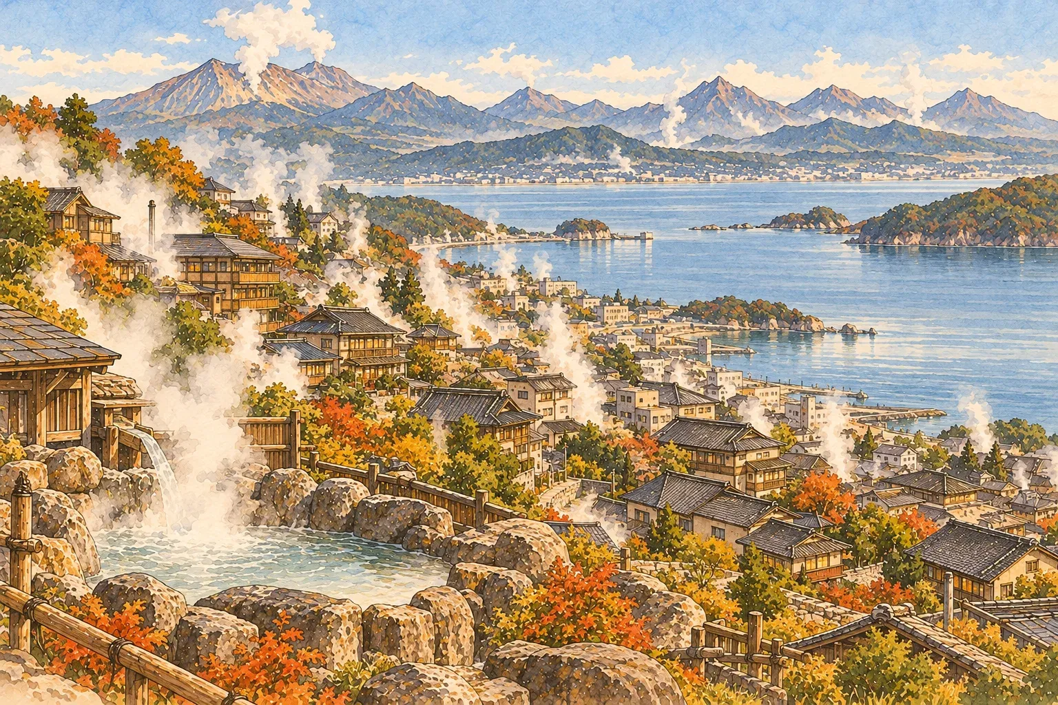
Beppu. Beppu city’s explanation runs like this. The land from Beppu Bay through Kujū and Aso to the Shimabara peninsula is a sinking rift zone, where volcanic activity that became active about 30,000 years ago brought geothermal and hot spring activity. Two large faults and the volcanoes Tsurumidake and Garandake affect one another. Several thousand metres down, magma heat has formed pockets of hot, high-pressure water. Rain soaks into the ground, is heated there, and picks up minerals on its way back up.
The environment ministry’s plan for the Kannawa, Myōban and Shibaseki area places Beppu at the eastern end of the Shimabara–Beppu rift, between the Kanaegoe fault to the north and the Asamigawa fault to the south, with a line of volcanoes led by Tsurumidake running roughly north to south behind the city. The Japan Tourism Agency’s English explanation says volcanic activity created Beppu’s jigoku (“hells”), bubbling pools that also give off gas.
Yufuin and its neighbours. The ministry’s plan for the Yufuin area calls Yufuin’s water a typical volcanic spring: rain falling on the mountains around the basin soaks in and is heated by geothermal heat from the Kujū, Yufu and Tsurumi volcanoes. At Tsukahara the spring sits on the side of Garandake, which the plan describes as having steam vents above 120°C and a mud volcano. At Shōnai, the plan says the water is almost all drilled and pumped, and that wells of about 500 m tend to give simple springs while 600 to 800 m tend to give sulphate springs.
Ibusuki. The tourism agency’s explanation says Ibusuki has more than 1,000 springs, mainly because it is in a volcanic area. The town sits in the Ata caldera, left by a huge eruption about 100,000 years ago, and is dotted with small craters from an eruption about 6,300 years ago.
Unzen. The tourism agency describes Unzen’s jigoku as a wide area of volcanic activity, long called “hell” locally for the way it boils, and says hotels and old public baths there use water heated by it. It is a UNESCO Global Geopark centred on a volcano active for 500,000 years.
Kirishima. The ministry’s plan places the onsen on the south-eastern slope of Kirishimayama, at 400 to 910 m, with the Kirishima volcanoes to the north. It describes where things are, not how the water forms.
Where I found nothing. For Kurokawa, the town’s plan only says it lies in the highlands at the foot of the Aso outer rim and the Kujū range. For Ureshino and Nagayu the official material I read does not explain how the water rises. I could not open the national geological survey material, and found no official source linking Aso, Sakurajima or Kujū to particular springs. So this page does not describe a Kyushu-wide pattern.
The towns
These are sketches, not guides. Each town’s own page is the place to go further. I could not find an official count of which spring types are most common in Kyushu, so the water described here is town by town.
Beppu. The city lists eight areas, the Beppu Hattō: Hamawaki, Beppu, Kamegawa, Kannawa, Kankaiji, Horita, Shibaseki and Myōban. Of the ten official spring categories, seven have been found in Beppu (simple, chloride, hydrogen carbonate, sulphate, iron-bearing, sulphur and acidic); carbon dioxide, iodine and radioactive springs have not. Counted by full spring name, the ministry’s 2020 plan gives 43 kinds.
On history, the city says the Bungo Fudoki is said to mention a “red hot spring”, today’s Chi-no-ike hell; that the eighth-century Iyo Fudoki tells a myth of two gods carrying Beppu’s water to Dōgo, across the sea in Shikoku, through an undersea pipe; that in the Kamakura period Ōtomo Yoriyasu set up rest houses at Beppu, Kannawa and Hamawaki for warriors wounded in the Mongol invasions; and that in 1694 the scholar Kaibara Ekiken recorded the bustle of the bath towns. At Shibaseki, emperors are “said” to have come to bathe in 895 and 1044.
Yufuin and Yunohira. The ministry’s plan says Yufuin’s water is mostly alkaline or weakly alkaline simple springs, with chloride and hydrogen carbonate springs in some parts. Yunohira is mainly chloride. Yunohira’s founding is “said” to go back about 800 years to the Kamakura period. Tsukahara’s water is strongly acidic; the plan, quoting a local pamphlet, says its acidity and its iron and aluminium content are rare in Japan, and JNTO gives a pH of 1.4.
Kurokawa. The town’s plan says visitor numbers rose sharply after the town began its open-air bath tour in 1986, and counts 30 inns using hot spring water and two public baths. JNTO describes an entry pass (nyūtō tegata) good for up to three baths; it gives no date or tax status for the price, so I have not repeated it. The ministry’s plan (March 2020) gives the main types as sodium chloride-sulphate springs and simple springs (see the Kurokawa guide); JNTO says only that the water is rich in minerals and differs from bath to bath. Nearby Manganji is “said” to have been opened by Kōbō Daishi in 848.
Nagayu. The ministry’s plan for the Taketa springs gives hydrogen carbonate and carbon dioxide springs, 36 or 38 sources (the plan uses both numbers), source temperatures of 25 to 52°C, and a culture of drinking the water. It also says Nagayu made Kyushu’s first declaration of gensen kakenagashi (water flowing straight from the source); I have not seen the document behind that.
Kirishima. The plan divides the area into the Kirishima onsen district and the Kirishima Jingū onsen district, with 49 springs used by 41 facilities (as of 2017). Its table lists simple, sulphur, acidic sulphur, hydrogen carbonate and chloride waters among others, some under older names.
Ibusuki. The tourism agency says the town has both clear chloride springs and sharp sulphur springs. In the 1600s the ruling Shimazu family built a villa here, and part of the bath and tilework of the lord’s bath (Tono-sama-yu) built in 1831 survive as a city-designated cultural property. JNTO says the sand bath has been popular for more than 300 years; the tourism agency’s English commentary says at least 160 years. See the Ibusuki guide. The name Ibusuki is thought to come from an old place name meaning “a town rich in spring water”.
Unzen. The tourism agency gives two starting points: one explanation says Unzen’s history begins in 701, when the monk Gyōki founded Manmyōji temple; another traces it back about 1,300 years to the arrival of Buddhism. Until temples and shrines on the mountain were destroyed in the late 1500s, most residents were monks. Unzen became a national park in 1934, and in the Meiji era Western traders came from Nagasaki and Shanghai to escape the summer heat. Spring names from the tourism bureau and others are in the Unzen guide.
Ureshino. The tourism agency calls the water “silky”, with a pH of 7 to 8. It gives no spring name. Ureshino city gives the city’s public bathhouse, Siebold no Yu, as a sodium-hydrogen carbonate·chloride spring; the Japan Hot Spring Association lists Ureshino as a hydrogen-carbonate spring. The two differ on whether chloride is in the name, so this page gives both. The town has more than 1,300 years of history and was a post town on the Nagasaki road in the Edo period. Its name comes, the agency says, from a legend: Empress Jingū saw a tired white crane bathe its wings in the river and fly off refreshed, had her wounded soldiers bathe, and on seeing them healed said ureshii no (“how glad I am”).
National health resort onsen. The environment ministry designates some onsen areas as kokumin hoyō onsenchi, places it considers suitable for health and recuperation. Its list shows 11 in Kyushu: Chikugogawa and Yoshii (Fukuoka); Iki Yumoto (Nagasaki); Amakusa Shimoda, the Minamioguni onsen district and Yunoko–Yunotsuru (Kumamoto); the Taketa springs including Nagayu, the Yufuin onsen district, and Kannawa–Myōban–Shibaseki (Oita); Kirishima, and Hayato–Shinkawa Valley (Kagoshima). The dates on the list are mostly when each plan was made or revised. The plans themselves give some designation years: Yufuin in 1959, which its plan calls the second in Kyushu; Minamioguni (Kurokawa, Tanohara and Manganji) in 1964; and Shibaseki, with Kannawa and Myōban, in 1985. No Saga or Miyazaki area appears on the list; that is all the list says.
How people use them
Beppu is the place where the official sources say most about this.
The hells. Beppu’s tourism site lists seven hells on the tour: Umi, Oniishibōzu, Kamado, Oniyama, Shiraike, Chi-no-ike and Tatsumaki. Tatsumaki is a geyser that throws out hot water and steam every 30 to 40 minutes, and the tour takes about three to three and a half hours. The tourism agency says that by 1937 ten hells had been developed as sights, and that they are for looking at, not bathing in. It also notes the name comes from the Buddhist burning hell.
Communal baths. The ministry’s 2020 plan counts more than a hundred communal baths in the city, including municipal ones. In the past, it says, homes had no bath, so people near a source shared one, and spring unions or neighbourhood associations built and ran them. As home bathrooms spread, users and volunteers fell away, and with ageing buildings more are closing; some now open to non-members, and an NPO sends staff to take the money and clean. I could not find a city count or prices.
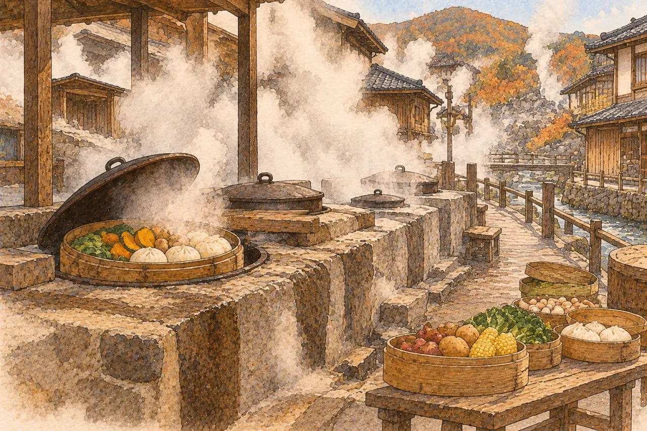
Steam. In Kannawa the steam bath (mushiyu) is at the centre of the town. The plan says it has been a stone chamber since the Meiji era and holds 16 people at a time, and calls the story that the monk Ippen founded it in the Kamakura period a legend. Old rental-room inns still have steam ovens for jigoku-mushi, cooking in the hell steam, where long-stay bathers could buy food in local shops and cook it themselves.
Everything else. The city’s page on uses of the water lists washing clothes and dishes, communal baths, growing cyclamen and orchids in greenhouses heated by steam, yu-no-hana (bath crystals formed naturally when hell steam meets blue clay), cooking in steam vents, heating and geothermal power. It notes that the Suginoi Hotel in Beppu meets 60% of its power use from its own geothermal plant. The ministry’s plan adds that in the Edo period Myōban produced the most alum in Japan (citing the city board of education), that the technique of making yu-no-hana was designated a national Important Intangible Folk Cultural Property in 2006, and that parts of Kannawa and Myōban were selected in September 2012 as an Important Cultural Landscape, the first hot spring area to be chosen.
Ways to bathe. The city names waterfall baths, mud baths, sand baths (covered in sand with your head out, about 10 to 15 minutes, once a day) and steam baths (about 10 minutes).
With food. These are pairings where an official source names both the town and the food.
- Jigoku-mushi, Beppu. The city’s tourism site describes steaming food over natural vents in Kannawa: you put food in the oven, close the lid and take it out when it is ready, with no rule about what goes in. The tourism agency mentions steamed pork buns and steamed puddings among newer dishes. There is a city-run steaming workshop in Kannawa; its page does not say whether prices include tax, so I have not given them.
- Toriten, Beppu. The farm ministry says chicken tempura is said to have begun at Tōyōken, the first restaurant in the prefecture, in Beppu. It does not connect the dish to the hot springs, so neither do I.
- Hot spring tofu, Ureshino. Ureshino city says a method of softening tofu in hot spring water was found in the Edo period; alkaline substances in the water break down the tofu’s protein and make it smooth and soft. It is served in the town’s restaurants. The tourism association gives a different origin, that the method is said to have been brought by Japanese envoys to Tang China. I do not choose between them; more is in the Ureshino guide.
- Ibusuki. The town’s tourism association lists an onsen-tamago rice bowl made with eggs cooked in the sand bath’s source water. Separately, the farm ministry’s geographical indication for Ibusuki katsuobushi (dried bonito), registered in March 2025, says the Yamakawa district makes over 70% of Japan’s honkarebushi. The ministry’s page does not mention the hot springs.
Reading the sign. I found no Kyushu source that explains how bathing in an onsen town differs from a day spa in a city. What applies everywhere is the national rule that a bath open to the public must post its water’s analysis and say whether, and why, the water is diluted, heated, recirculated or disinfected. Beppu adds its own labels on municipal baths: gensen (source on site) or hikiyu (piped from elsewhere), and kakenagashi (flowing straight through) or junkan (filtered and reused). Those are the city’s definitions, not national ones, and neither label is a grade.
Getting there
These are the times the official pages give, checked on 10 October 2026. Timetables change, so check the operator before you travel. Fares are not on this page.
- Beppu — From Oita Airport to Kitahama bus stop about 50 to 55 minutes by bus (JNTO says 45). From Hakata station by limited express about 2 hours, from Kokura about 1 hour 10 minutes, from Kumamoto by the Kyushu Ōdan limited express about 3 hours. By car from Fukuoka about 2 hours. The tourism information office at Beppu station handles English, according to JNTO.
- Yufuin — JNTO gives about 1 hour from Oita station on the JR Kyūdai line, about 1 hour 15 minutes from Beppu by train with a change at Oita, about 50 minutes by bus or 40 by car from Beppu, which is about 30 km away. The page shows no update date.
- Kurokawa — Minamioguni town gives car times to the town, not to Kurokawa itself: about 1 hour from Kumamoto Airport, 1 hour 45 minutes from Fukuoka Airport, 1 hour 30 minutes from Oita Airport. JNTO says there is no railway and that direct highway buses run from Fukuoka, without a journey time.
- Ibusuki — The tourism association points to the airport bus timetable and a JR Ibusuki Makurazaki line timetable but gives no journey time. It says the Toppy Rocket fast ferry’s Ibusuki route has been suspended since 1 April 2026.
Journey times for these towns are in the separate guides to Ibusuki, Kirishima, Unzen, Ureshino, Takeo and Nagayu.
What people get wrong
- “All Kyushu onsen are volcanic.” Beppu, Yufuin, Ibusuki and Unzen explain their water through volcanoes. For other towns the official material I read does not, and I found no source for the general claim.
- “Most springs means most onsen towns.” Kyushu has over a third of Japan’s springs but only about 12% of its onsen areas, which the ministry counts by places to stay.
- “You can bathe in the Beppu hells.” They are for looking at.
- “Kakenagashi is a national standard.” Beppu defines it for its own municipal baths. I could not find a national definition.
- “Recirculated water is a lesser bath.” Recirculation and disinfection are labelled because the law requires the reason to be posted, and they can be needed for hygiene. A label is not a grade.
- “The water will treat a condition.” The ministry’s rules list indications by spring type and say treatment at a spa is best done with a doctor’s guidance. This page does not claim any town’s water cures anything.
Questions people ask
Which prefecture has the most hot springs in Japan?
On the environment ministry’s table for fiscal 2024, Oita has the most springs (5,094) and the largest flow (293,610 litres a minute). Kagoshima is second on springs with 2,735. The table has no ranking column; the order comes from comparing its figures, and Beppu city publishes the same order.
Are all Kyushu hot springs volcanic?
I could not find an official source that says so. Some towns do explain their water through a volcano, such as Beppu, Yufuin, Ibusuki and Unzen. For Kurokawa, Ureshino and Nagayu the official pages I read do not explain how the water rises.
Can I bathe in the Beppu hells?
No. The Japan Tourism Agency’s explanation says the hells (jigoku) are for looking at, not for bathing in. Beppu has more than a hundred communal and municipal baths for that.
What do gensen, hikiyu, kakenagashi and junkan mean on a Beppu sign?
These are Beppu city’s own terms for its municipal baths. Gensen means the source is on site, hikiyu means the water is piped from a source elsewhere, kakenagashi means it flows straight through without the amount being controlled, and junkan means it is filtered and reused. They are the city’s definitions, not national ones.
Sources
- 嬉野温泉観光協会「嬉野温泉湯どうふ」
- 気象庁「霧島山(新燃岳)の火山活動の状況」
- 観光庁 地域観光資源の多言語解説文データベース「Ibusuki Sand Baths」
- 嬉野市「嬉野温泉公衆浴場 シーボルトの湯」
- 一般社団法人日本温泉協会「温泉地詳細 嬉野温泉」
- 環境省 自然環境局長通知 平成26年7月1日(禁忌症及び入浴又は飲用上の注意の掲示等の基準)
- 環境省「令和6年度温泉利用状況」(令和7年3月末現在)
- 環境省 国民保養温泉地
- 環境省 鉄輪・明礬・柴石温泉 国民保養温泉地計画書
- 環境省 湯布院温泉郷 国民保養温泉地計画書
- 環境省 南小国温泉郷 国民保養温泉地計画書(案)
- 環境省 霧島温泉 国民保養温泉地計画書
- 環境省 竹田温泉群 国民保養温泉地計画書
- 気象庁 九州の活火山
- 気象庁 活火山とは
- 別府市 温泉百科「温泉データ」
- 別府市 温泉百科「別府温泉のなぞと歴史」
- 別府市 別府八湯ガイド
- 別府市 温泉百科「温泉の活用法」
- 別府市 温泉百科「源泉」「引湯」「かけ流し」「循環」について
- 別府市 温泉百科「正しい温泉の入り方」
- 別府市公式観光サイト 地獄めぐり
- 別府市公式観光サイト 地獄蒸し
- 別府市公式観光サイト アクセス
- 観光庁 多言語解説文 別府の地獄について(英語)
- 観光庁 多言語解説文 別府温泉 温泉のある暮らし
- 観光庁 多言語解説文 指宿「藩主の温泉であった指宿」
- 観光庁 多言語解説文 雲仙「音声ガイド:雲仙の歴史」
- 観光庁 多言語解説文 雲仙「歴史と冒険、自然の神秘」
- 観光庁 多言語解説文 嬉野温泉
- JNTO, Kurokawa Onsen
- JNTO, Ibusuki Onsen
- JNTO, Yufuin Onsen
- 南小国町 アクセス
- 嬉野市 温泉豆腐
- 指宿市観光協会 ご当地グルメ
- 指宿市観光協会 アクセス
- 農林水産省 地理的表示(GI)「指宿鰹節」
- 農林水産省 うちの郷土料理「とり天」大分県
Prices are in Japanese yen. Conversions are approximate, at ¥177.30 to the euro and ¥158.23 to the US dollar as of 20 Oct 2026. Rates come from the European Central Bank, which publishes on working days only. Prices checked Oct 2026. What food costs in Japan →